


Sydway Walker app for iPhone and iPad
Developer: Melway Publishing Pty Ltd
First release : 02 Sep 2011
App size: 102.28 Mb
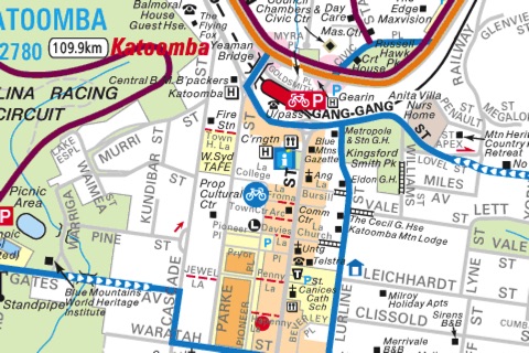
18 detailed walking and cycling maps around Sydney, covering some of the best walking terrain in the world. Developed with assistance from various councils around Sydney, the maps range from the pristine beaches on the coast to rugged and picturesque hikes through the world heritage Blue Mountains.
• View, zoom and pan around 18 detailed maps, plus overview map
• Track your location on your chosen map
• Tap to hide controls and view map full-screen
• Share clippings from maps with Facebook, Twitter, email, print and more
• Maps are stored in app: works anywhere, no network needed
Printing requires an AirPrint-enabled printer.
Each map included in this app has been adapted from the printed versions, which include further information about walking times, handy local descriptions and contact numbers as well as cycling information if appropriate.
Some of the maps are specifically designed for cycling. In these cases you will notice different map styles used to highlight the cycling routes and information.
Enjoy getting out and about in one of the world’s great cities.
Included maps:
• Walking and Cycling Maps Overview
• Parramatta River Walk
• Barrenjoey to Narrabeen Lakes
• Narrabeen Lakes to Manly lagoon
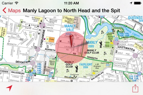
• Manly Lagoon to North Head and The Spit
• Harbour Bridge to South Head and Clovelly
• Clovelly to La Perouse
• Kurnell to Cronulla
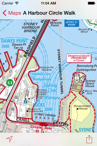
• A Harbour Circle Walk
• Harbour Bridge to Manly via Spit
• Harbour to Spit Walks
• Walking in Willoughby
• Walking and Cycling in Liverpool and Fairfield
• Cycling and Walking in Randwick
• Cycle North Sydney
• City of Ryde Cycling
• Northern Sydney Cycling
• Sydney City Bike Map
• Cycling in the Blue Mountains